අවශ්ය අය විමසන්න (Contact for more information): +94 77 901 8581
ශ්රී ලංකාව තුල සහ කූරියර් සේවාව මගින් පමනයි. (Delivery within Sri Lanka and through Courier Service only).
කරුණාකර ඔබ ප්රදේශයේ Domex කූරියර් සේවාව ක්රියාත්මක නම් පමනක් ඇනවුම් කරන්න. (please check the availability of Domex Courier Service in your area before ordering. Courier Service may not be in service in your area due to Covid – 19)
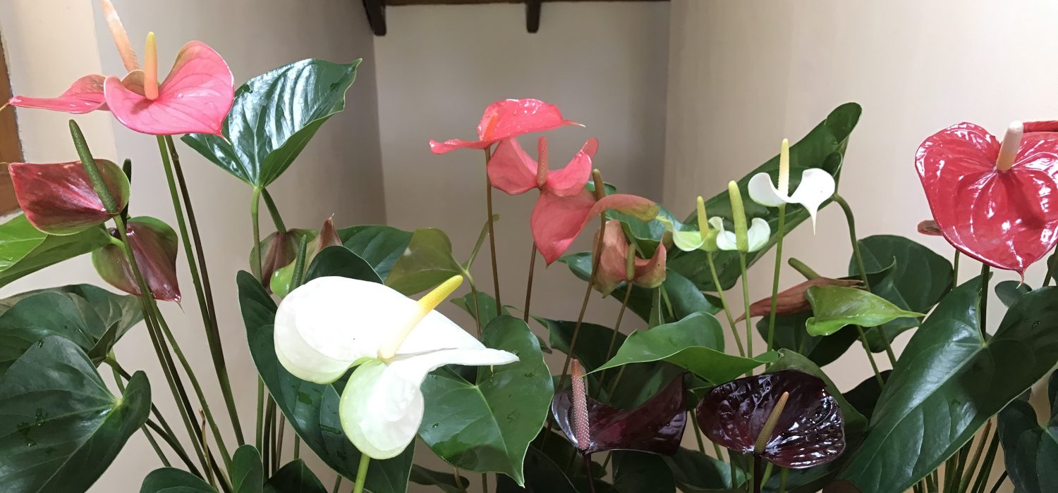
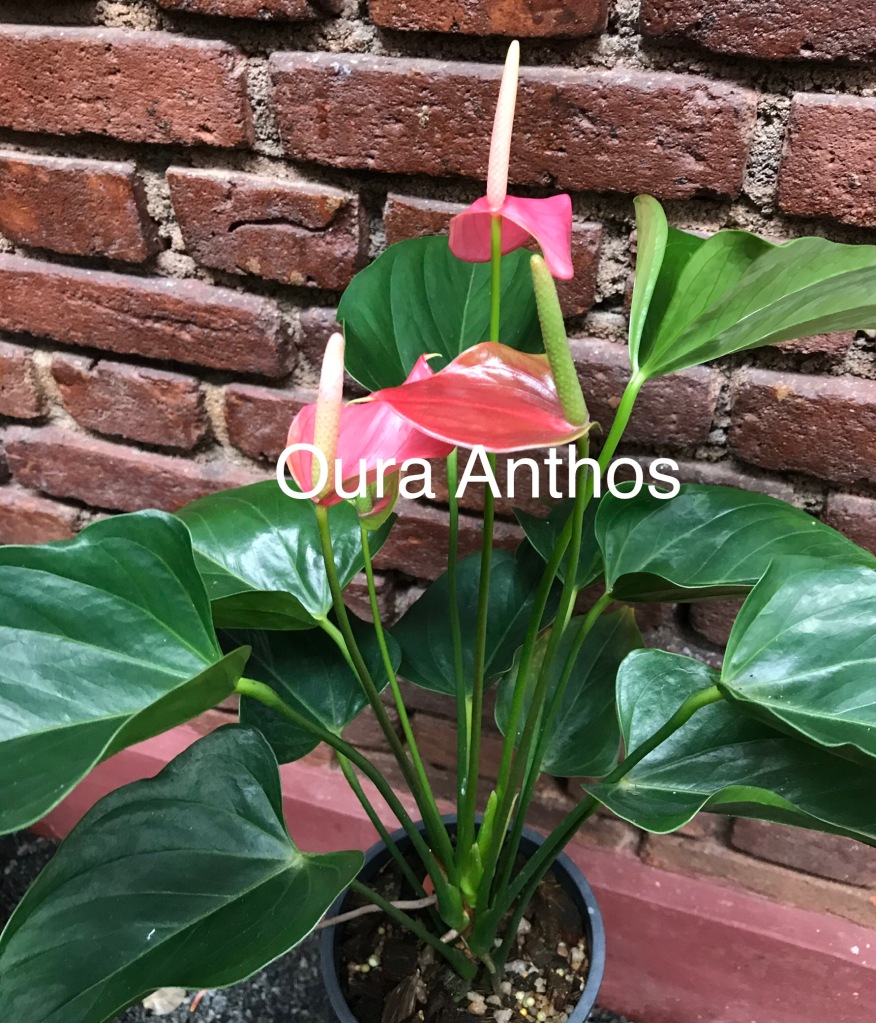
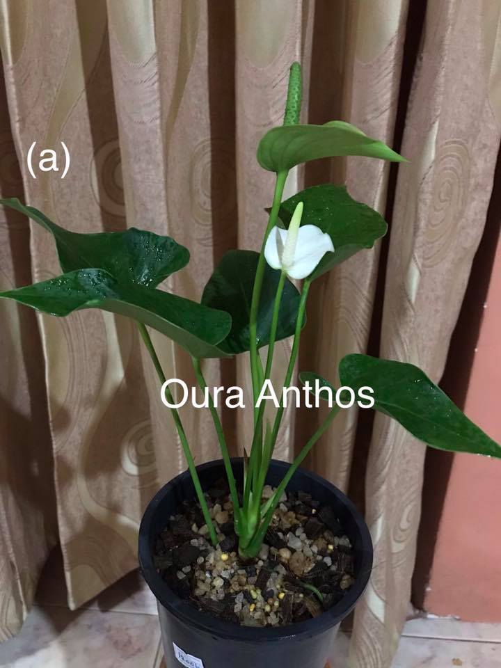
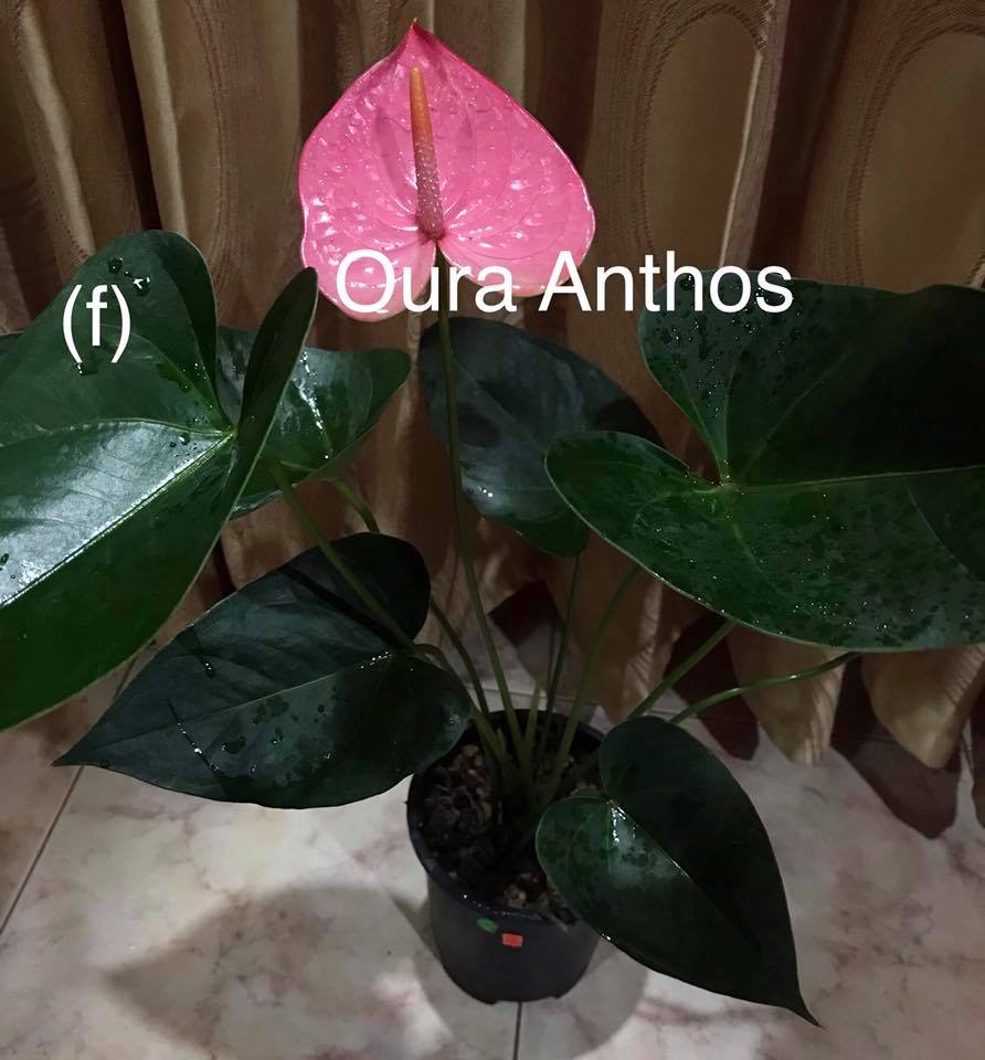
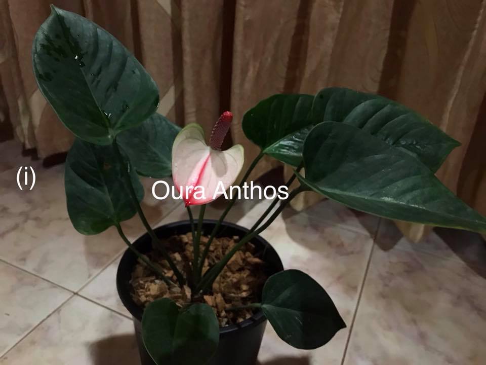
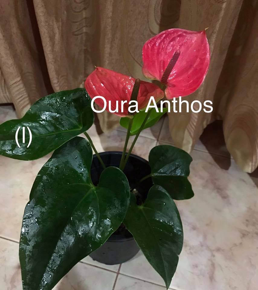
Mother Plants of Anthurium varieties in following photographs are available for sale. පහත දැක්වෙන ඡායාරූපවල ඇති ඇන්තූරියම් වර්ගවල එම ප්රමාණවල මව් ශාක විකිනීම සඳහා දැන් නිකුත්කර ඇත.
Plants could be delivered to your door step through courier service within Sri Lanka or you can visit and buy plants at our Oura Anthos Flower Garden – Sales Center කූරියර් සේවාව මගින් මෙන්ම දැන් Oura Anthos Flower Garden – Sales Center වෙත ඉරිදා දිනයන්හි (පමනක්) පැමින ලබාගත හැක.
This is a Railway Bridge (Viaduct) located at Gotuwala between Ella and Demodara Railway Stations on Colombo – Badulla, (Upcountry) Railway Line. This is attracted by both foreign and local tourists not only due to its specialty of the structural form of the bridge but also due to the natural beauty of the area and the geographical condition of the location.
This bridge has been constructed by the Britishers during the First World War 1 and commissioned in the year 1921. There are many folktales behind this construction of the bridge. In Sinhala Language this bridge is known as “දෙමෝදර අහස් පාලම” which means Sky Bridge at Demodara because when one looks at this bridge from the bottom of the bridge, it looks like that the bridge is constructed in the sky due to its orientation and the height.
This bridge consisted of nine arches with the total length of the bridge being 300 feet and the height 80 feet. The specialty of this construction is that the bridge has been constructed with only stones, brick and cement; and no steel reinforcement bars had been used.
Nine Arch Bridge at different angles
Nine Arch Bridge at Demodara
Nine Arch Bridge at Demodara
Nine Arch Bridge at Demodara
Nine Arch Bridge at Demodara
Nine Arch Bridge at Demodara
Nine Arch Bridge at Demodara
One reason for the tourist attraction is the architectural form of the bridge. The bridge has been constructed connecting two mountains as a curved bridge.
Nine Arch Bridge at Demodara
Nine Arch Bridge at Demodara
At the same time, at the one end of the bridge, there is a railway tunnel. So when the train is traveling towards Badulla, the train suddenly appears from the tunnel before it travels over the bridge. In the other way, when the train travels in the opposite direction, it sees that the train passes over the Nine Arch Bridge and it suddenly disappears through the tunnel .
Also, this area is covered with the greenery forest surrounded by the mountains in all direction. When all these things are taken together, when a train traveling over the bridge, they altogether create a very beautiful and marvelous scenery. Because of that, when tourists visit this site; they, in advance, arrange the visit considering the Train Time Table or otherwise, they spend many hours there until a train passes over this location.
COLOMBO FORT to DEMODARA – Train (Railway) schedule
This is the first ever E – Class Highway constructed in Sri Lanka. It Starts from Kottawa on Colombo – Rathnapura – Wellawaya – Batticaloa Highway (A 04) in Western Province and ends at Hambantota in Southern Province running over a length of 222km. The Section up to Galle completed in November, 2011; section up to Matara in March, 2014; and the last section from Mathara to Hambantota completed in February, 2020.
This expressway is running through various geographical zones and beautiful scenic areas with rubber, coconut, tea and paddy lands, mountainous ranges, rivers and streams, natural forests and so on. Over this section of 222km one can experience different climatic and whether conditions. Here are several beautiful pictures taken on Southern Expressway.
Horton Plain is a National Park located in the Central Highlands of Sri Lanka. This is a world heritage Site and rich in Biodiversity. It is situated in a location of 8 kilometers from Ohiya and 20 kilometers from Nuwaraeliya.
Originally, this area was known as Maha Eliya Plains (මහ එලිය තැන්න) and three main rivers namely Mahaweli, Kalani and Walawe are starting from this area.
In this area temperature varies considerably within a short period such as it raised up to 27 degrees centigrade during the day and can drop up to 5 degrees centigrade during the night. So, Horton Plain is a very cool and calm area.
Every location and every direction of the surrounding is so beautiful. There are a number of plants endemic to the area.
There are a number of beautiful flowers very peculiar to the area.
The trees in the area look very beautiful way due to the very low temperature and windy climate.
Even the tender leaves of the trees seem beautiful due to their nature and colors.
Also the grass bushes and grass lands are nice looking due to the way they have grown under this cool and wet climatic condition.
This is a National Park that a lot of tourists wish to travel and the famous World’s End, a sheer precipice, also located in the Horton Plain.
Stage constructed to watch the World’s End safely
A most common animal, one can see in this park is Sri Lankan Sambar Deer.
Once, you enter this Horton plain, you start to feel that your mind and the environment are one and you forget all other things and start to live with it.
The duty of all ours is the protection of this invaluable natural environment for the future.
This is the tallest light house in Sri Lanka and it is currently used for navigational purposes, specially to guide the direction for the sea vessels. This light house has been designed and constructed by William Douglass of the Imperial Lighthouse Service in 1889. Dondra Head Light House is octagonal in shape, constructed with bricks and painted in white. This is located at the south most point of Sri Lanka called Point Dondra and it is at a distance of about 6km from Matara, the main city of the Southern Province, Sri Lanka. The name Dondra is “Devi-Nuwara” in Sinhala meaning “City of Gods”.
Several Views of Dondra Head Light House
Height of this light house is 160ft and tourist can climb up this under the permission of Sri Lanka Port Authority who manages and operates the light house currently. But, time to time, this had been closed for tourists due to security reasons.
This is a tourist attractive location in Sri Lanka and also there is a beautiful sea around the location.
At this location, also, there is a special survey monument, a “Fundamental Bench Mark” constructed by the Department of Surveys, Sri Lanka which establishes the height above Mean Sea Level (MSL) precisely.
This water fall is located in the Uva-Paranagama Divisional Secretary Area and in the Badulla District. It is close to the Nuwaraeliya and Badulla District Boundaries. One who wish to visit Bomburu Ella can reach either from Nuwaraeliya or Welimada Towns. For reaching the location from Nuwaraeliya, one has to travel on Nuwaraeliya – Welimada Road (A5 Main Highway) and turn right at Galahagama Junction and continue on Rendapola – Galahagama – Ambagasdowa Road; and then up to Bomburuella village (Total distance about 14km). beyond this location one needs to travel about 4km up to the last point of the water fall. This waterfall is also called as Perawella Falls (Location – Perawella – Coordinates 6°56′51″N 80°49′51″E)
The specialty of this water fall is that Bomburuella is not merely a single water fall. Here you can enjoy a group of water falls cascading within a distance of about 1km.
Different Stages of Water Fall from bottom to top
This water fall is served by the upper segment of the principal tributary of the Uma River, known as the Duulgala River.This water fall is said to be the widest waterfall in Sri Lanka.